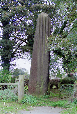
Devils Arrows Alignment, Yorkshire

Three large stones two in this field and one across a road (see left) form an alignment. The dramatic looking grooves in the tops of the stones have been weathered by millenia of rainfall wearing away the relatively soft sandstone of the Arrows. The site is just off the side of an elevated section of the A1(M) trunk road at Jct 48 to Boroughbridge which slightly detracts from the setting.