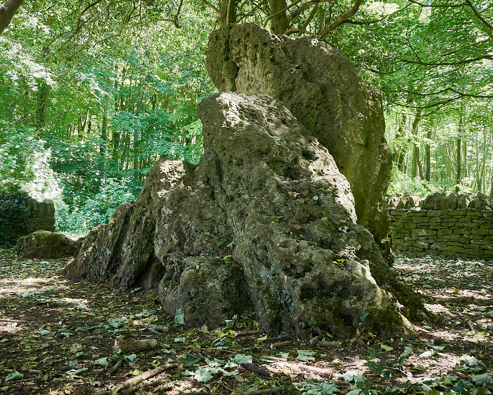
Hoarstones
Hoarstones
Type:
Dolmen
Country:
England
County:
Oxfordshire
Grid Ref:
SP378237
Latitude:
51.910341
Longitude:
-1.450360
Accuracy:
to 70m (NGR derived)
Datum:
OSGB36
OS Map:
OS Landranger sheet 164, Oxford
local map:
view map
View in Google Earth:
KML file
nearby sites
Rollright Stones
Stone Circle, 10.9km
Devils Quoits
Stone Circle, 19.2km, SP411048
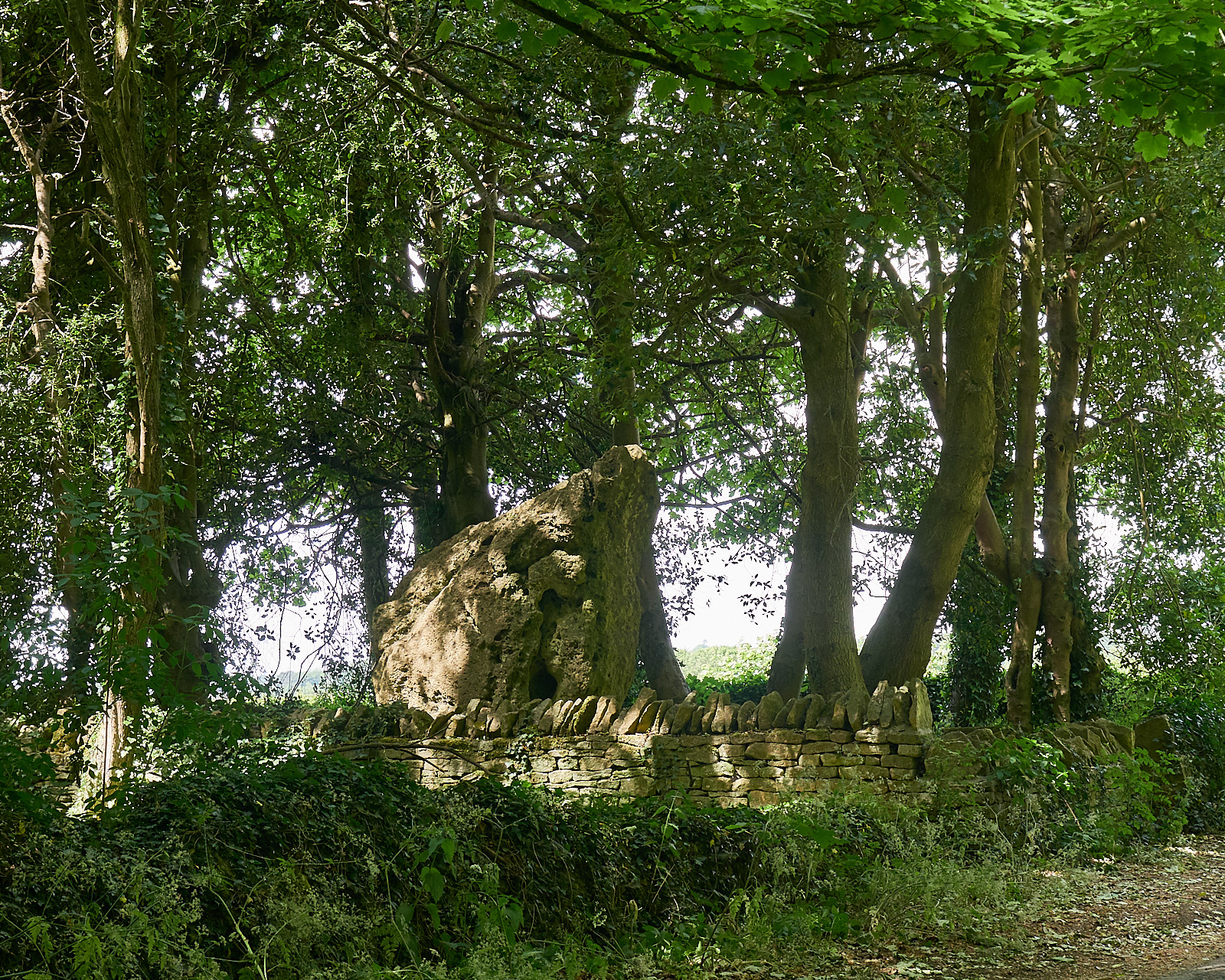
Imposing remains of a dolmen in a pleasant setting in a wood near the Fulwell crossroads on the B4022 at Enstone
M E g A L i T h i A
Text and photographs ©
RM
1992-2007 unless otherwise credited
Last updated 18-Mar-07