Knap Hill

Knap Hill Barrow
Knap Hill
Type:Barrow
Country:England
County:Wiltshire
Grid Ref:SU116638
Latitude:51.372700
Longitude:-1.833455
Accuracy:to 15m (GPS with SA off)
Datum:OSGB36
OS Map:OS Landranger sheet 173, Swindon, Devizes
Date:September 2004
local map:view map
View in Google Earth:KML file
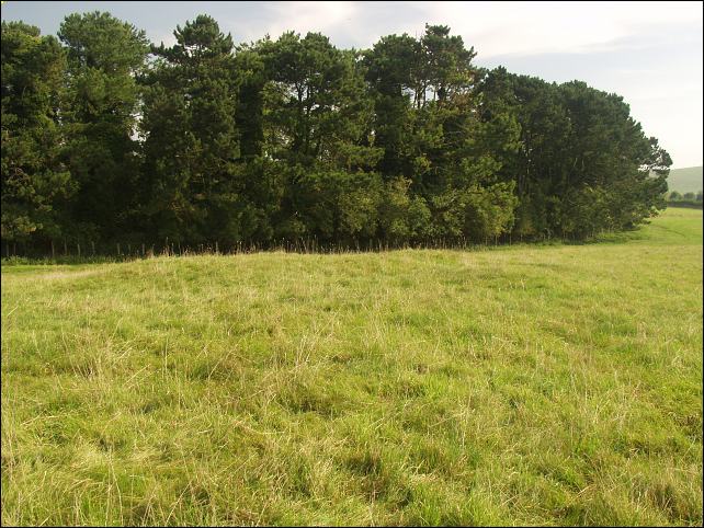
Barrows on Knap Hill, Avebury, below Adam's Grave long barrow. The last picture is of the site of some tumuli - on the ground this can just be seen as part of a rectangular bank at SU116641
nearby sites
Adam's GraveBarrow, 0.5km
Langdean Bottom Stone Circle, 1.9km, SU118657
The SanctuaryStone Circle, 4.2km
Overton Hill BarrowsBarrow, 4.3km
Falkner`s Circle Stone Circle, 5.5km, SU109693
West Kennet Avenue Alignment, 6.3km, SU103700
AveburyStone Circle, 6.3km away
Broadstones Stone Circle, 6.5km, SU161685
Winterbourne Bassett Stone Circle, 11.9km, SU094755
Coate Stone Circle, 19.7km, SU181824
StonehengeStone Circle, 21.6km away
Enclosure

Enclosure


M E g A L i T h i A
Text and photographs © RM 1992-2007 unless otherwise credited
Last updated 18-Mar-07