
Presqu'île de Quiberon
The Quiberon peninsula is home to a number of menhirs and dolmens, as well as the alignments of St Pierre-Quiberon.
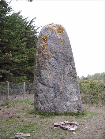
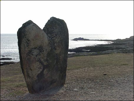
Goulvars menhir, north of Le Conguel campsite
This fine granite menhir with carefully shaped top stands about 4m high. Another 1m of it is buried in the sand dune according to the associated information board. GPS data : 47.4753605N 3.0975338W
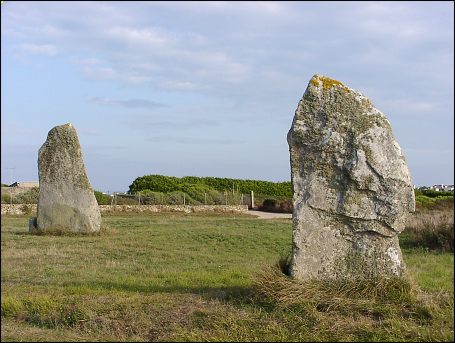
Menhirs de Manémeur
This pair of menhirs stand just outside Quiberon, just off a minor road running east as the coast roads starts along the western Côte Sauvage. 47.4833329N 3.1353018W, 47.4832505N 3.1351096W
allée couverte de la Pointe de la Guérite 47.4811484N 3.1368471W
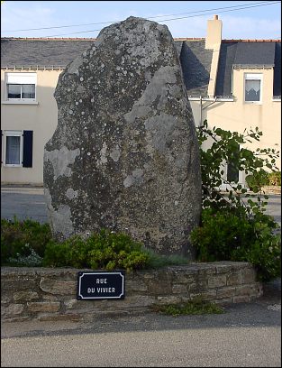
Menhir de Manémeur
Continue further into the village to see this stone in the village of Manémeur. 47.4833102N 3.1320189W
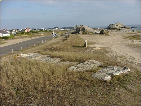
Return to the coast road and proceed to where the road is straddled by this pair of standing stones, les menhirs de Beg er Goalennec. The concrete footing of the seawards stone indicates "concrete July 1984"
menhirs de Beg er Goalennec 1 47.4834891N 3.1417868W
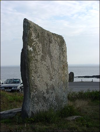
menhirs de Beg er Goalennec 2 47.4840431N 3.1415189W
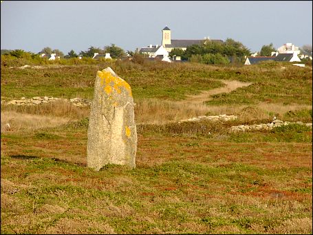
Menhir de Manémeur 47.4870595N 3.1420683W
Menhir on a sand dune near Manémeur
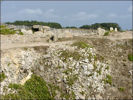
Dolmens de Porz Guen 47.5239915N 3.1557309W